A trip down to London city
I must have lived a fairly sheltered life so far. Nobody can believe that my trip two weeks ago to London was the first time I'd been there. Well it was and here are some photos to prove it!
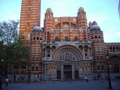
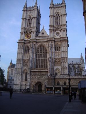
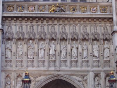
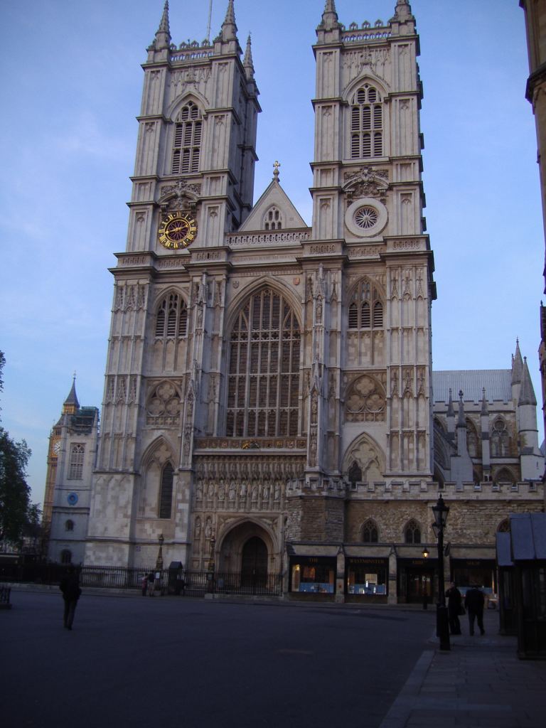
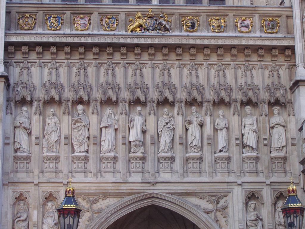
As part of my job, I deliver software training to mainly new clients. This particular client was based in Victoria, Westminster - right in the heart of the tourist part of the city. Above, Westminster Cathedral, located just along from Victoria station. Below the very impressive (and unbelievably huge) Westminster Abbey, together with a close up of the carvings above the entrance.
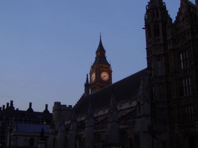
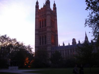
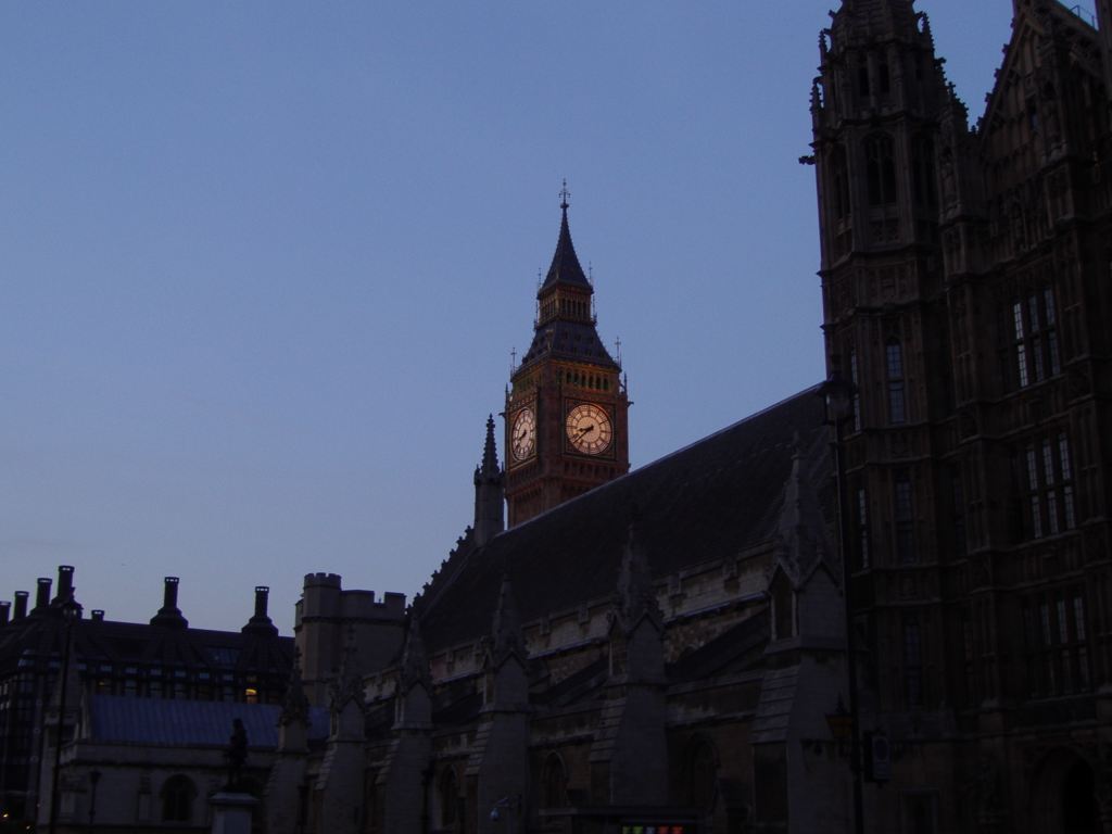
I was just down for a couple of days, so only had the overnight stay to work my way round the countless sights. I soon ran out of sunlight however, so apologies for some of these darker shots. Below, the first glance of Big Ben across the House of Lords, whereas the next shot is the familiar sight of the houses of parliament. Nope, didn't see anyone famous - just a lot of police!
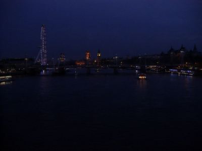
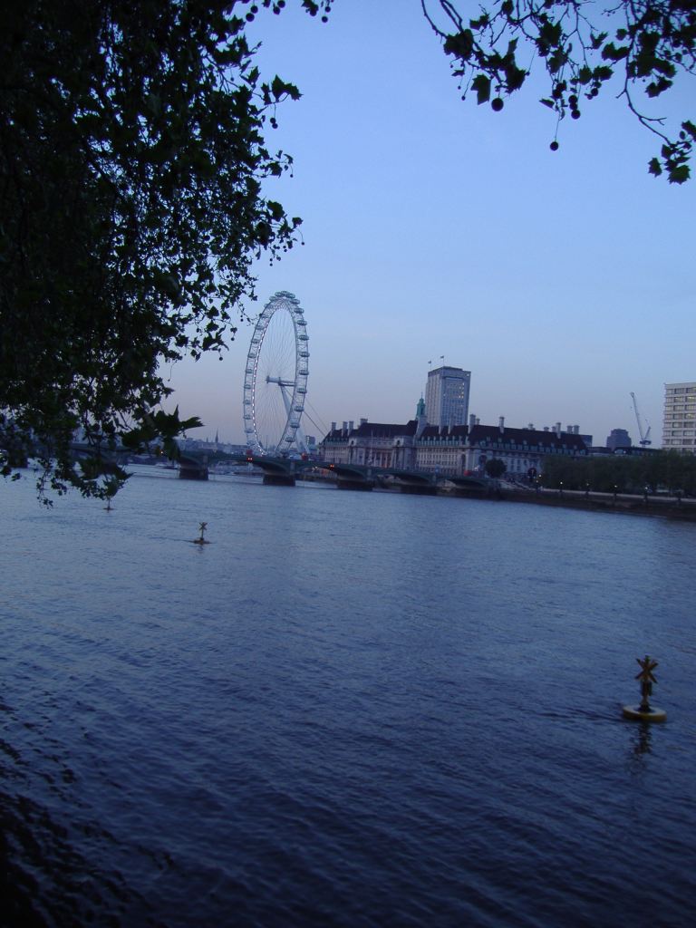
Couldn't make up my mind about the London Eye. It's a great landmark yes. Certainly catches the eye. But is it really neccesary with all the other fantastic sights around? Still, the Thames was impressive and I couldn't get over quite how busy it is on the river.

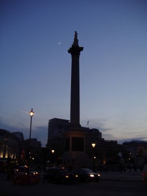
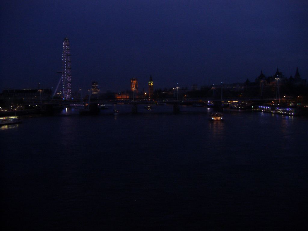
So after wandering around the River, Big Ben, the Houses of Parliament and Westminster Abbey I headed up to Trafalgar square. Nelson's column above with the moon behind. Then from further afield in the dark, a slightly blurry shot of the night skyline where I had been earlier.
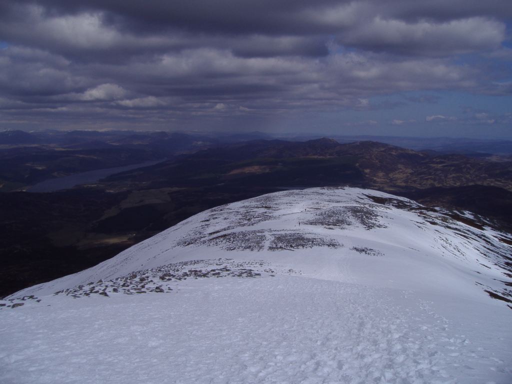
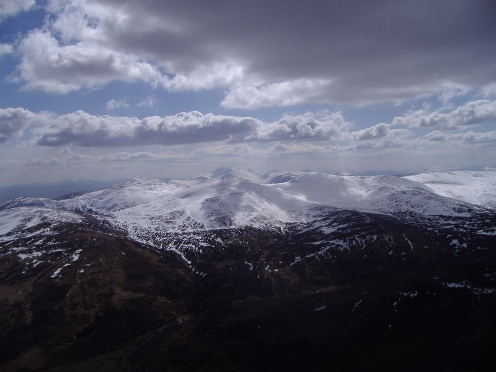
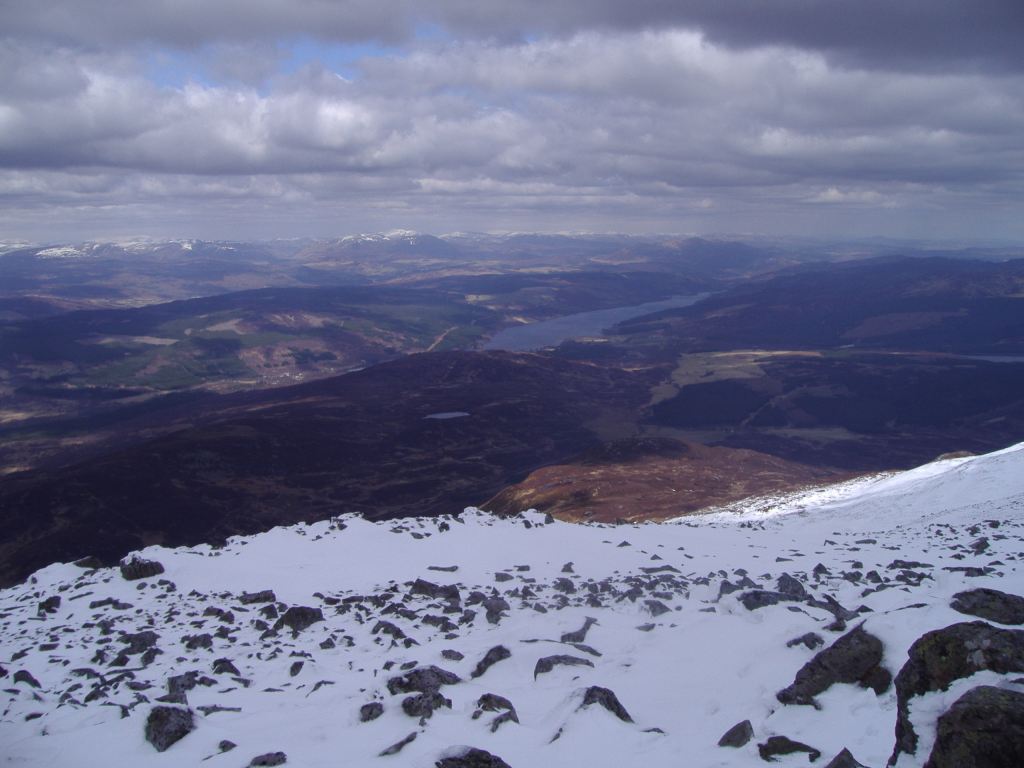
The following day I got back home pretty late after a delayed flight (blame easyjet), but after a bit of a lie in, I decided to head out to the hills. Pictures of the very pretty Ben Lawers soon - although it was again unfortunately not ideal for photography. Must stop making excuses, and blog more! And start including some GIS related stuff!
Oh, better give sis a mention. She's now away out in Colorado on a course. Read all about it on her blog. If you can stand the colours of course! Gray!?
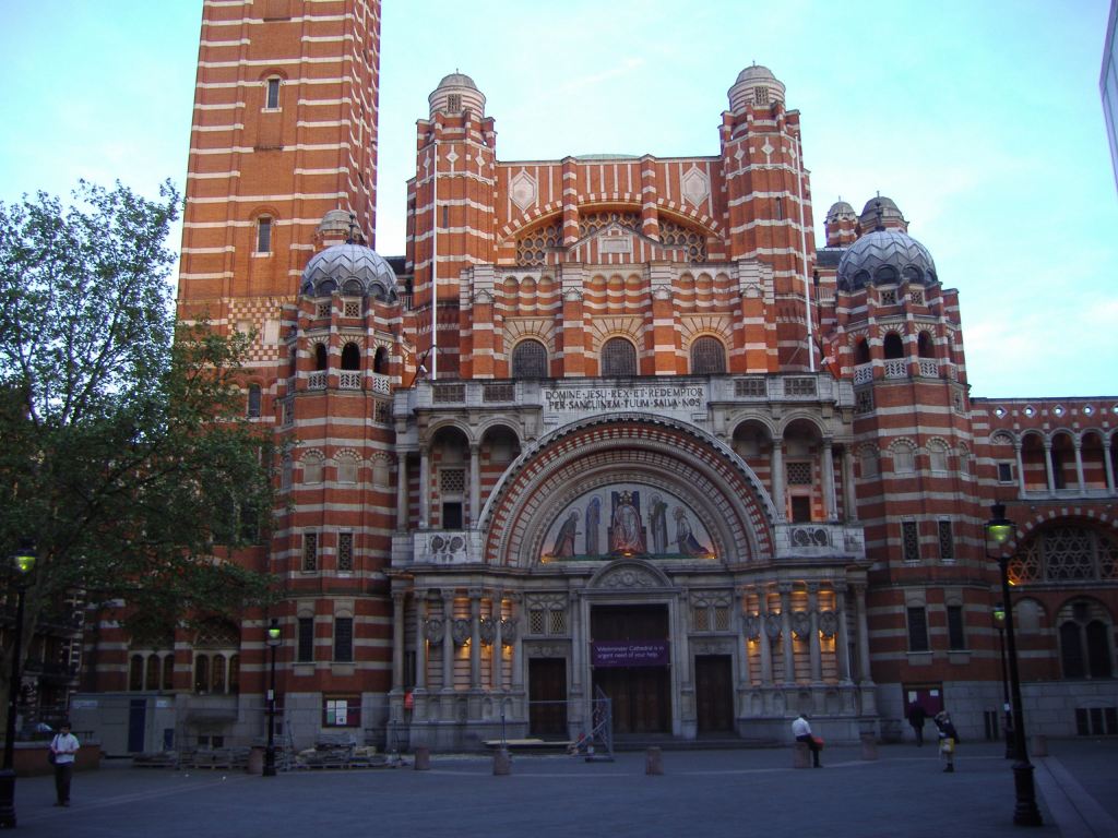
As part of my job, I deliver software training to mainly new clients. This particular client was based in Victoria, Westminster - right in the heart of the tourist part of the city. Above, Westminster Cathedral, located just along from Victoria station. Below the very impressive (and unbelievably huge) Westminster Abbey, together with a close up of the carvings above the entrance.
I was just down for a couple of days, so only had the overnight stay to work my way round the countless sights. I soon ran out of sunlight however, so apologies for some of these darker shots. Below, the first glance of Big Ben across the House of Lords, whereas the next shot is the familiar sight of the houses of parliament. Nope, didn't see anyone famous - just a lot of police!

Couldn't make up my mind about the London Eye. It's a great landmark yes. Certainly catches the eye. But is it really neccesary with all the other fantastic sights around? Still, the Thames was impressive and I couldn't get over quite how busy it is on the river.

So after wandering around the River, Big Ben, the Houses of Parliament and Westminster Abbey I headed up to Trafalgar square. Nelson's column above with the moon behind. Then from further afield in the dark, a slightly blurry shot of the night skyline where I had been earlier.
The following day I got back home pretty late after a delayed flight (blame easyjet), but after a bit of a lie in, I decided to head out to the hills. Pictures of the very pretty Ben Lawers soon - although it was again unfortunately not ideal for photography. Must stop making excuses, and blog more! And start including some GIS related stuff!
Oh, better give sis a mention. She's now away out in Colorado on a course. Read all about it on her blog. If you can stand the colours of course! Gray!?
posted by Jan at
20:33
1 Comments
Links to this post
![]()