Google Lit Trips, Meteox, and the beautiful Alps
Just as was trying to explain how virtual globes can lead narratives, Ogle Earth links to GoogleLitTrips.org, a really nice example of how we can use visualisations to aid within wider education, in this case renowned literary works.
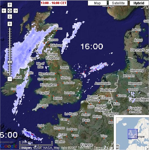
Then my dad pointed me towards meteox.co.uk which despite the URL seems to be a Dutch site that uses both google and geodan maps to display rainfall (radar) across europe. It also does the (now) obligatory Google Earth KMZ link for all the data, though while it updates hourly, it doesn't allow for time-led animations in the same way the maps do.
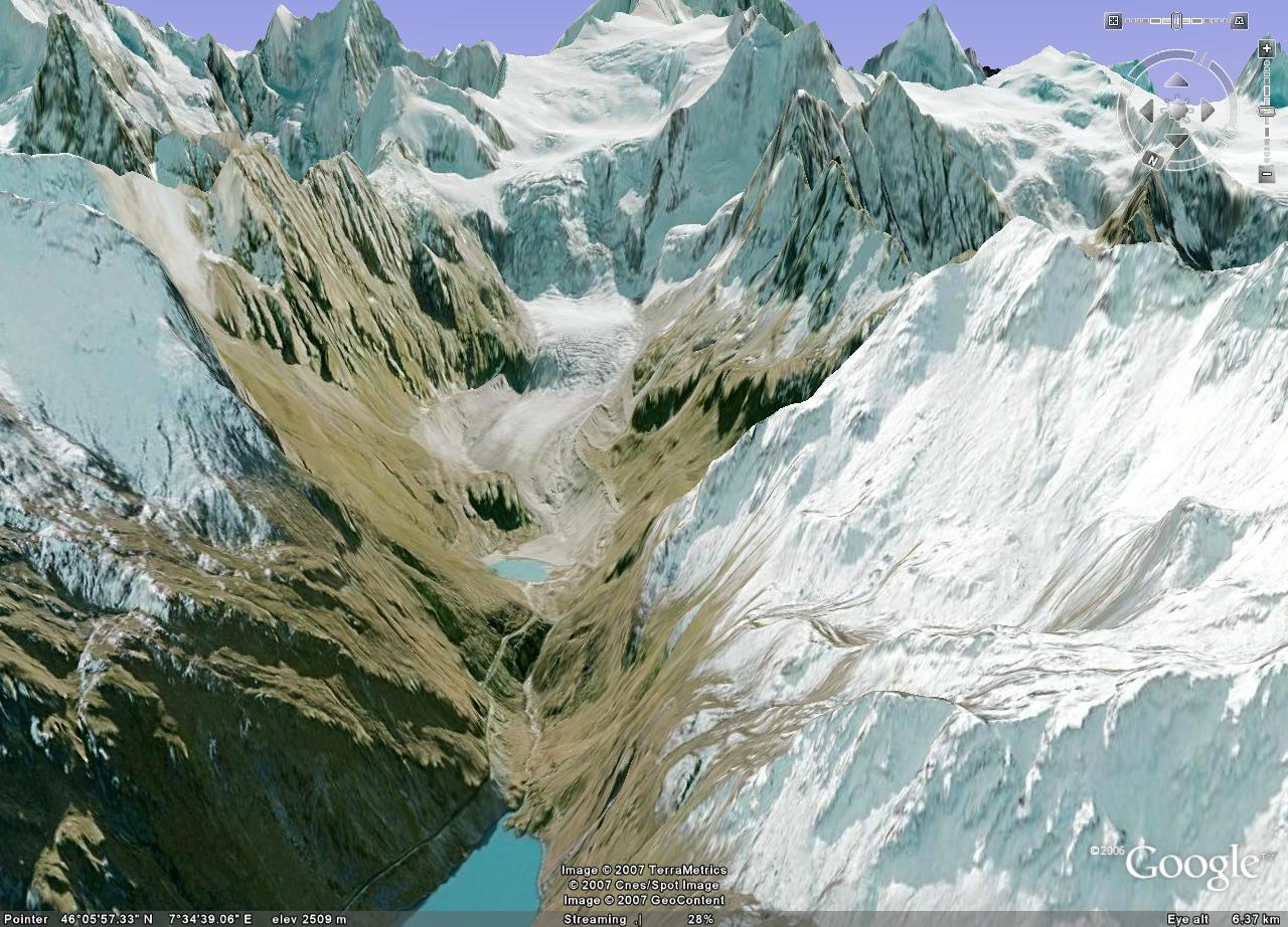
Finally, I never wrote about it, but various sources reported the huge update to Google Earth and especially the Swiss Alps. Some of the new imagery draped over the elevation data reproduces some of the stunning scenery. Now, just to have the time and the money to head in search of the snow!
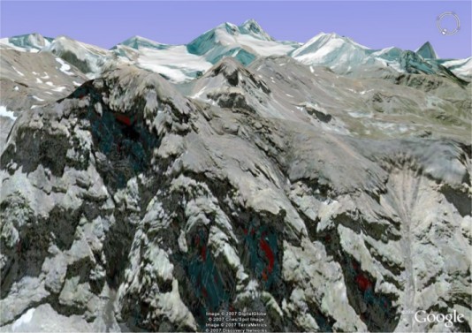
While I was exploring, anyone know what kind of rock turned up red and blue on the imagery though?
Oh and some final quick links for reference:
- Ogle Earth and KML editors
- Earth is square on MapleCroft Maps
Then my dad pointed me towards meteox.co.uk which despite the URL seems to be a Dutch site that uses both google and geodan maps to display rainfall (radar) across europe. It also does the (now) obligatory Google Earth KMZ link for all the data, though while it updates hourly, it doesn't allow for time-led animations in the same way the maps do.
Finally, I never wrote about it, but various sources reported the huge update to Google Earth and especially the Swiss Alps. Some of the new imagery draped over the elevation data reproduces some of the stunning scenery. Now, just to have the time and the money to head in search of the snow!
While I was exploring, anyone know what kind of rock turned up red and blue on the imagery though?

Oh and some final quick links for reference:
- Ogle Earth and KML editors
- Earth is square on MapleCroft Maps
Labels: education, google earth, google maps, weather
posted by Jan at
15:02
17 Comments
Links to this post
![]()


