Friday, 6 April 2007

Virtual Globes, Google EULA, and Gazetteer XML considerations

I missed out on going to the "Geobrowsing Workshop" held at the University of Cambridge last week, but I came across this interesting review of it by Eddy Boyle who I believe works over at Edina, a spin-off service from the Edinburgh University's Data Library.

Then yesterday one of my classmates' (who incidently knows Eddy Boyle) and I were having a discussion about the use of Google's images and their EULA. Odd, as Bull's World did a post on exactly what we were speaking about, followed up by the news that Ed Parsons was joining Google, which in turn was followed up by Spatially Adjusted's obvious request!

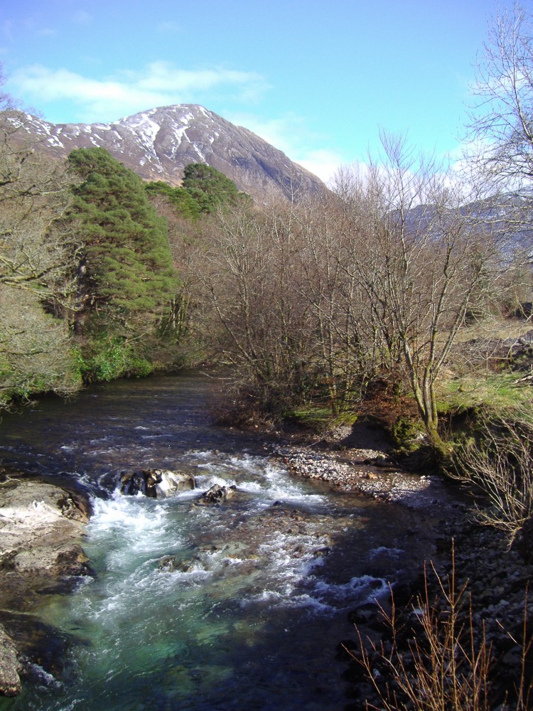
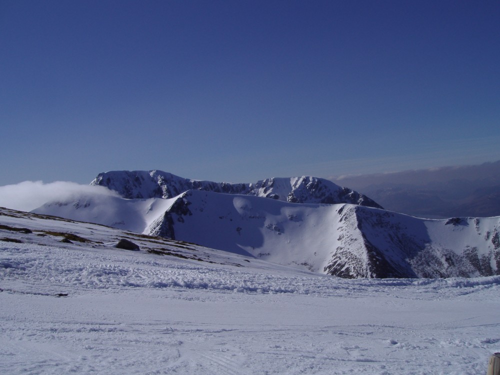
What am I up too? Well, I'm trying to finalise the planning of the XML 'grammar' I'm going to use. It's swinging either the way of Linda Hill's Alexandria's Digital Library Project, that being a light-weight gazetteer which we can supply for the world to use. We've got probably the most extensive set of gazetteer data for Scotland, so it's certainly a service that could prove interesting to other users - in a similiar way to how geonames currently works.

The problem is that the Gazetteer for Scotland is much more than a simple place/feature gazetteer, containing vast volumes of other descriptive information, photographs and other media. Clearly this isn't something we can serve to the world directly (copyright issues), and yet it's important that these elements can be adequately represented in the XML structure.

Anyway, once we've decided we'll start working on adapting a few perl scripts to draw the data out into our XML, and then the fun begins of stylesheet transformations etc.

Labels: ,

Monday, 2 April 2007

April catch up - Glencoe, FutureTV and news.

I've been pretty busy over the past month or so - and I've just realised I haven't done any blogging. That doesn't mean I've ditched my course, or even been on holiday (much), just that the time has flown by!

So, a quick catch up. First, three fellow students are doing Gazetteer for Scotland topics, and we have a combined questionaire on the ScotGaz website to try and get some customer feedback. Some criticism of it too, as apparently I left no space to comment or suggest educational ideas. My fault, though I'll happily take suggestions here, in addition to the comments and emails ive already received.

As a class we had a brief three day holiday in Glencoe, Western Scotland. Had a really good time, with fantastic scenery and even a day on the slopes! I'll post more photos on my website in the near future.

river coe
River Coe, Glencoe.
ben nevis
Ben Nevis from Aonoch Mor

Anyway, back to some links related to my dissertation, and to start one that really isn't!

Firstly, Hey What's That.com that I blogged about before, has now made their viewshed analysis tool available to the rest of the World. Some of the data is a bit crumbly, and not nearly as accurate for most of Europe as it is in the U.S. but for some locations most noticeably The Alps and other hi-res areas around the world it works a treat. For instance, this is the view from West Lomond in Fife. Bit odd you can't see much east, because the other summit East Lomond, really isn't that imposing!

- Ogle Earth mentioned a really interesting project involving the visualisation of non-spatial data in Google Earth, and some similiar work involving Second Life. Worth a read.

- A bit off-topic but related to above, Microsoft Virtual Earth April Fool's Joke! but also a huge update (UK included) a few days previous. Cool.

Oh and I almost forgot, one of our lecturers, talks on UK Future TV.com about The Future of mapping in the digital age

Labels: , , ,

Thursday, 15 March 2007

Viewshed calculations HeyWhatsThat, Dull and XML editors

Ogle Earth finds another gem in the form of HeyWhatsThat.com, which uses the SRTM data that is available with GE, to perform viewshed calculations. It can output directly to Google Maps, where it draws a 360 degree panorama that interacts with the google map interface. It also identifies the peaks visible from your position, and you can highlight the entire viewshed in red.

You can also import the entire set into Google Earth, to, I suppose test if the algorithm is correct. Very very cool.

Another useful thing I saw related to education, was a post on slashgeo.org concerning the use of Skype to control virtual globes on another computer. Unype allows two (or more?) users to interact with each others globe, showing them around, and so on. GE Blog reviews and also has a video.

But anyway, after having criticised the Gazetteer for Scotland in an earlier post, I suppose I had better make amends! I was of course referring to the village of Dull in Perth and Kinross. *cough*

I did some work getting XLST to work today, with limited success. I did after hacking up a quick XML sample of one of the Gazetteers pages, manage to reproduce a html document with some images from that XML source using XLST. The plan is to produce some samples for use in my presentation on Monday, perhaps an html document with two seperate stylesheets, and maybe KML, to demonstrate how powerful XSLT can be.

The only major problem I've had is in my search for a good editor. I decided to start off simple with Microsoft's XML Notepad 2007 . At first glance it did exactly what I wanted it for, but it has some really annoying bugs, especially that you need to close and re-open the XSLT stylesheet everytime you want to re-transform (the copy must be cached inside). So that was useless.

I then tried Oxygen. This was complete at the other end of the scale. Not only do I just get a 30 day trial, but it's also so incredibly complex with so much functionality that I really don't need. Having said that, it worked quite nicely if you ignore _all_ the functions and just use it as an editor, and as a tool for running the XSLT.

Anyone have better suggestions?

Labels: , , , , ,

Friday, 9 March 2007

Dissertation idea request? Virtual globes and education.

I've cross-posted this a bit, and it's related to my dissertation. Feedback really apreciated, especially from those who aren't ordinarily my blog readers :)


Hi everyone,

I promised I'd complete this over the weekend - typically it ran over into this week, and I've only just managed to send it out now. Apologies. If you don't have time to look at this, or give feedback, then please don't worry.

For those of you that don't know my background, I'm currently undertaken a Masters of Science in Geographical Information Science (GIS) in Edinburgh. GIS very roughly is about how we can use technology to represent geographical information. Anyway, as part of my masters I need to produce a dissertation. Read on :)

The website is called The Gazetteer for Scotland - feel free to take a quick look. As you can see, it's quite dull, but does contain a vast amount of information on all kinds of things to do with Scotland.

This is an encyclopedic website run by a few staff members and the Royal Scottish Geographical Society, and it is my job to translate this website in such a way that it can be used within education. I won't bore you with the technical details, but I propose to use something like Google Earth as a platform to represent the data that currently is on the website, and tailor it to aid teaching.

Why a virtual globe such as Google Earth? Well, traditional web-sites are becoming fairly boring, especially when set up in Gazetteer fashion - especially to kids. A tool such as Google Earth is an easy to use and interesting way of engaging an audience, and allows data to be represented at different dimensions within space and time.

ge1 screen
How exactly is where I need some help and suggestions. I know what I can do from a technical perspective, but I'm not really too sure how this all fits into practice. If you can help me with a few of these questions, I would be most grateful. Of course, other comments, suggestions and issues are welcome.

- What sort of age-group, ability level do you think I could target something like this at?
- What kind of information is interesting, or relevant? What kind of theme do you think would be interesting to develop?
- How would a demonstration work in practice with respect to certain age groups? Should you demonstrate, or provide laboratory sessions?

ge2 screen

Clearly content is related to the age, and the age and ability level will dictate whether this is an effective tool.

Some ideas I have already:

- Creating a historical narrative, that leads you around areas of Scotland through time.
- Quiz/ Fact-Finding tutorial allowing them to explore Scotland and the Gazetteer data set.

Can you help? Please PM me back, leave comments, or email me :)
--email address removed--


I've used Google Earth as the example, though I will probably use World Wind. I'm starting work on the content very soon - so should have something to show in the very near future.

Labels: , , ,

Monday, 27 November 2006

- visualising textual data
- making gazetteer co-ordinate data multi-platform (kml, gml?)

Labels: , ,