April catch up - Glencoe, FutureTV and news.
I've been pretty busy over the past month or so - and I've just realised I haven't done any blogging. That doesn't mean I've ditched my course, or even been on holiday (much), just that the time has flown by!
So, a quick catch up. First, three fellow students are doing Gazetteer for Scotland topics, and we have a combined questionaire on the ScotGaz website to try and get some customer feedback. Some criticism of it too, as apparently I left no space to comment or suggest educational ideas. My fault, though I'll happily take suggestions here, in addition to the comments and emails ive already received.
As a class we had a brief three day holiday in Glencoe, Western Scotland. Had a really good time, with fantastic scenery and even a day on the slopes! I'll post more photos on my website in the near future.
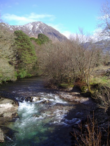
River Coe, Glencoe.
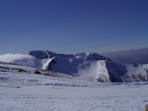
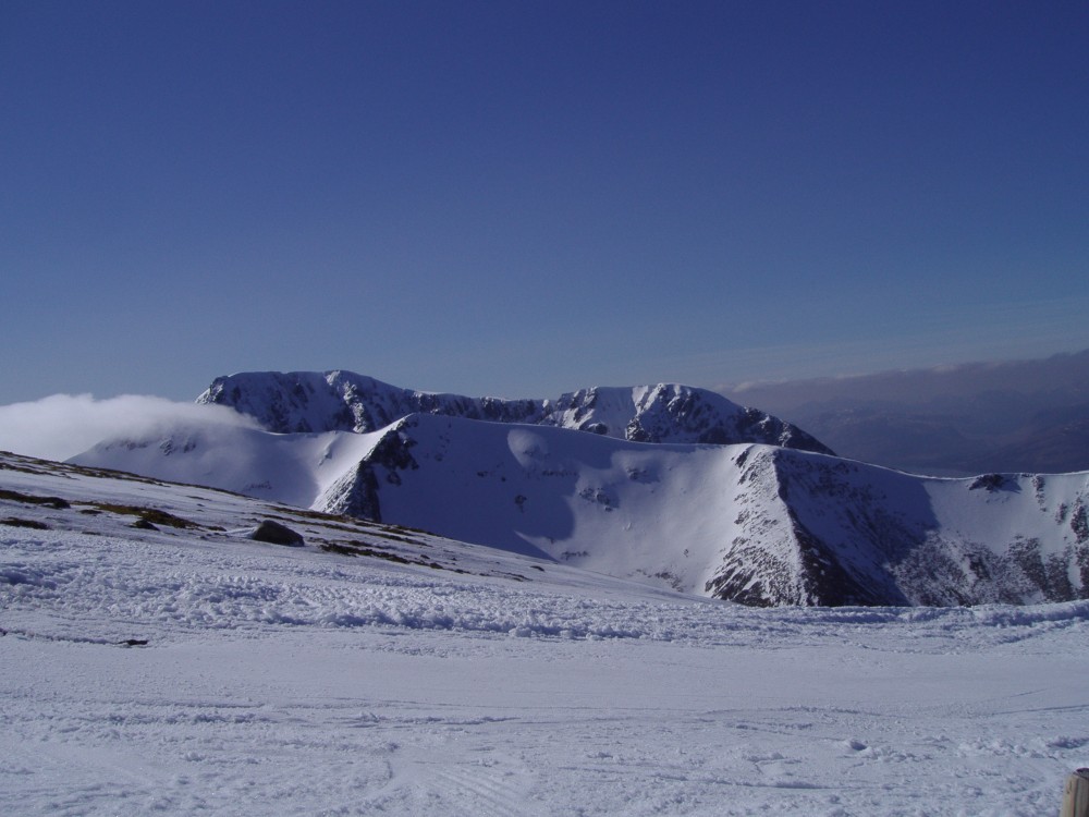
Ben Nevis from Aonoch Mor
Anyway, back to some links related to my dissertation, and to start one that really isn't!
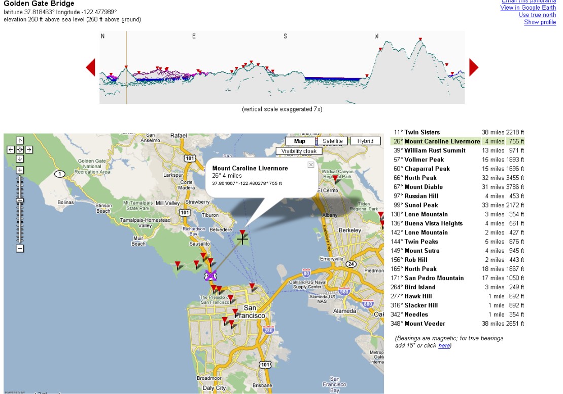
Firstly, Hey What's That.com that I blogged about before, has now made their viewshed analysis tool available to the rest of the World. Some of the data is a bit crumbly, and not nearly as accurate for most of Europe as it is in the U.S. but for some locations most noticeably The Alps and other hi-res areas around the world it works a treat. For instance, this is the view from West Lomond in Fife. Bit odd you can't see much east, because the other summit East Lomond, really isn't that imposing!
- Ogle Earth mentioned a really interesting project involving the visualisation of non-spatial data in Google Earth, and some similiar work involving Second Life. Worth a read.
- A bit off-topic but related to above, Microsoft Virtual Earth April Fool's Joke! but also a huge update (UK included) a few days previous. Cool.
Oh and I almost forgot, one of our lecturers, talks on UK Future TV.com about The Future of mapping in the digital age
So, a quick catch up. First, three fellow students are doing Gazetteer for Scotland topics, and we have a combined questionaire on the ScotGaz website to try and get some customer feedback. Some criticism of it too, as apparently I left no space to comment or suggest educational ideas. My fault, though I'll happily take suggestions here, in addition to the comments and emails ive already received.
As a class we had a brief three day holiday in Glencoe, Western Scotland. Had a really good time, with fantastic scenery and even a day on the slopes! I'll post more photos on my website in the near future.
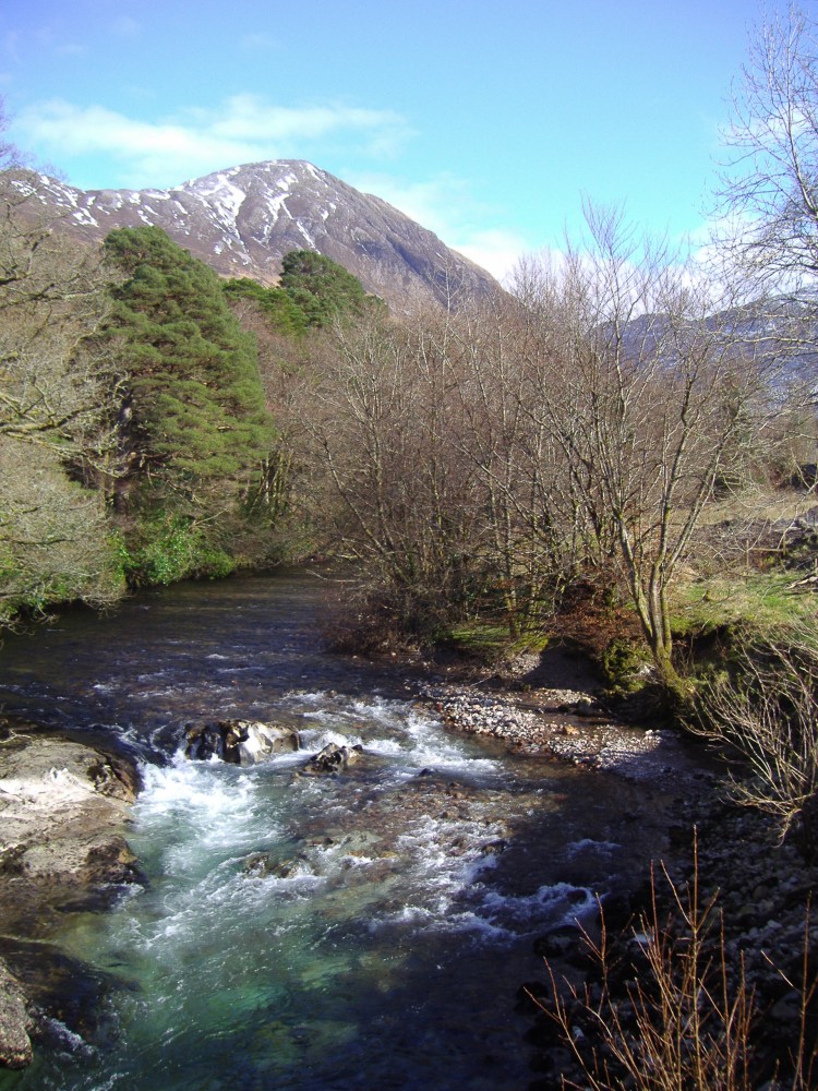
River Coe, Glencoe.
Ben Nevis from Aonoch Mor
Anyway, back to some links related to my dissertation, and to start one that really isn't!
Firstly, Hey What's That.com that I blogged about before, has now made their viewshed analysis tool available to the rest of the World. Some of the data is a bit crumbly, and not nearly as accurate for most of Europe as it is in the U.S. but for some locations most noticeably The Alps and other hi-res areas around the world it works a treat. For instance, this is the view from West Lomond in Fife. Bit odd you can't see much east, because the other summit East Lomond, really isn't that imposing!
- Ogle Earth mentioned a really interesting project involving the visualisation of non-spatial data in Google Earth, and some similiar work involving Second Life. Worth a read.
- A bit off-topic but related to above, Microsoft Virtual Earth April Fool's Joke! but also a huge update (UK included) a few days previous. Cool.
Oh and I almost forgot, one of our lecturers, talks on UK Future TV.com about The Future of mapping in the digital age
Labels: gazetteer for scotland, google maps, virtual earth, visualisation
posted by Jan at
19:34
0 Comments
Links to this post
![]()